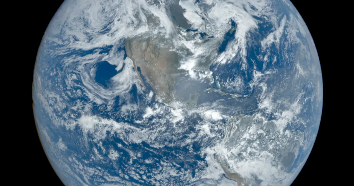
It opens like a mission-control screen from a thriller: a photorealistic 3D globe ringed with live contacts, glowing flight arcs, a tactical HUD reading out telemetry. Then you click a plane and realize the telemetry is real — pulled live from ADS-B transponders, ship beacons, orbital element sets, and seismographs, all public sources. God's Eye View (bilawalsidhu/gods-eye-view) packs that into one open-source browser app — past 52,000 GitHub stars, #1 on GitHub Trending — with 11,000+ live aircraft, thousands of ships, an 838-object satellite catalog, earthquakes, live weather, and some 3,900 public cameras, most of it with zero API keys. This tutorial installs it, lights up the sky, and puts you in the cockpit of a live flight.
The terminal path is four commands. Use Node 24.x (24.14.0+) or 26.x:
git clone https://github.com/bilawalsidhu/gods-eye-view.git
cd gods-eye-view
npm ci
npm run doctor
npm run dev
Open http://localhost:4173. Pick Live Contacts, Space Missions, or Environmental from the first-run panel. The README's measured cold start on an M5 Mac in Chrome was a median 1.86 seconds — treat that as the project's own baseline, not a promise for your machine.
Take the Live Contacts mission — or turn on Flights yourself — and the globe fills with thousands of live aircraft gliding on real telemetry (OpenSky plus adsb.lol, 11,000+ aircraft). Click one: the camera locks on, a fading trail draws behind it, and its live telemetry card comes up. Step through the 250 km roster of everything near your target and drop into any cockpit.
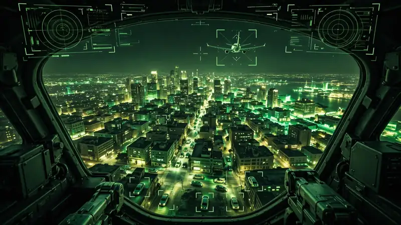
Then hit COCKPIT on your tracked plane and ride it down — the camera holds the terrain under you the whole way. Switch sensors mid-flight: NVG, then FLIR/thermal, then the detection overlay that draws bounding boxes and IDs on everything in view. This is the project's signature trick: it looks like a forbidden cockpit, and every line of code is inspectable.
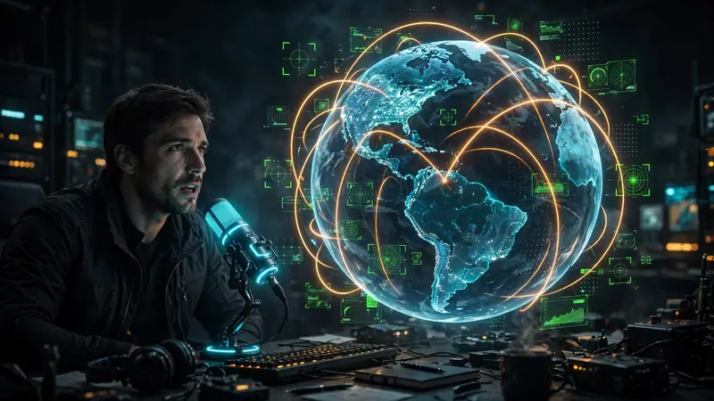
Voice is the project's second act. Click GEV MIC, grant the microphone, and just talk. Voice uses an OpenAI API key or, on the same machine, an opt-in ChatGPT/Codex OAuth session — the key still drives the AI HUD summary, a terse five-word intelligence-style readout of your current view that regenerates as you move. The agent pulls live scene context before answering, so “what city is this?” mid-flight actually works, and entity Q&A (“what's this?” on a clicked plane or ship) answers from that object's live telemetry.
Commands worth trying, straight from the project's playbook:
“Take me to Tokyo.”
“Show me the planes overhead.”
“How many flights are over Texas right now?”
“Which ships are headed to Oakland?”
“When does the ISS pass over next?”
“Switch to night vision and turn on the flights layer.”
“Outline the state of Texas.”
The last one demonstrates the voice whiteboard: it draws the actual enclosing boundary, not a circle. Prefer typing? The app is also an MCP server — point Claude Desktop, Codex, or ChatGPT desktop at it and ask from the chat (see docs/MCP_SETUP.md).
Twenty layers and map sources ship with the app, and seventeen have a keyless path. The heavy hitters:
When you want the upgrades, click the POWER UP chip in the bottom-right: provider settings list every supported key, what it switches on, and where to get it. The first one worth grabbing is the free Cesium ion token (eligible personal, non-commercial use) for photorealistic 3D and world terrain; a Google Maps key is the direct, metered route plus Google place search. Terminal installs store keys in the repo-root .env; the app makes that file owner-only before writing a secret into it, and it is excluded from Git.
Open the Scene director to capture cinematic camera tours of the live globe — staged moves for clips and demos. Then hand the whole view to someone else: Share Links serialize the camera, style, layers, and even one tracked target into a URL. A live target is a handoff, not a bookmark — whoever opens the link gets your exact view, tracking the same aircraft.
A local, inspectable intelligence globe: live aircraft and ships, an 838-object satellite catalog, quakes, weather, cameras, and radio — all steerable by voice, all running on your machine against public feeds. The included Nepal flood scene shows the documentary side: replay the Bhote Koshi flood with flood path, witness sources, and before-and-after imagery.
Start with the keyless layers, add the Cesium token when the flat basemap stops impressing you, and try one voice command before you decide whether the whole thing is a toy or a tool.